
|
Back Home |
|
|
Powys Metal Mines |
|
|
Mines index |

|
Mine map |
Powys Metal Mines Survey
Nant yr Eira
Nant yr Eira lies in the community of Llangurig in the county of Powys . It is located at Ordnance Survey national grid reference SN82708730 . The mine is recorded in the CPAT Historic Environment Record as number 725 and this number should be quoted in all correspondence.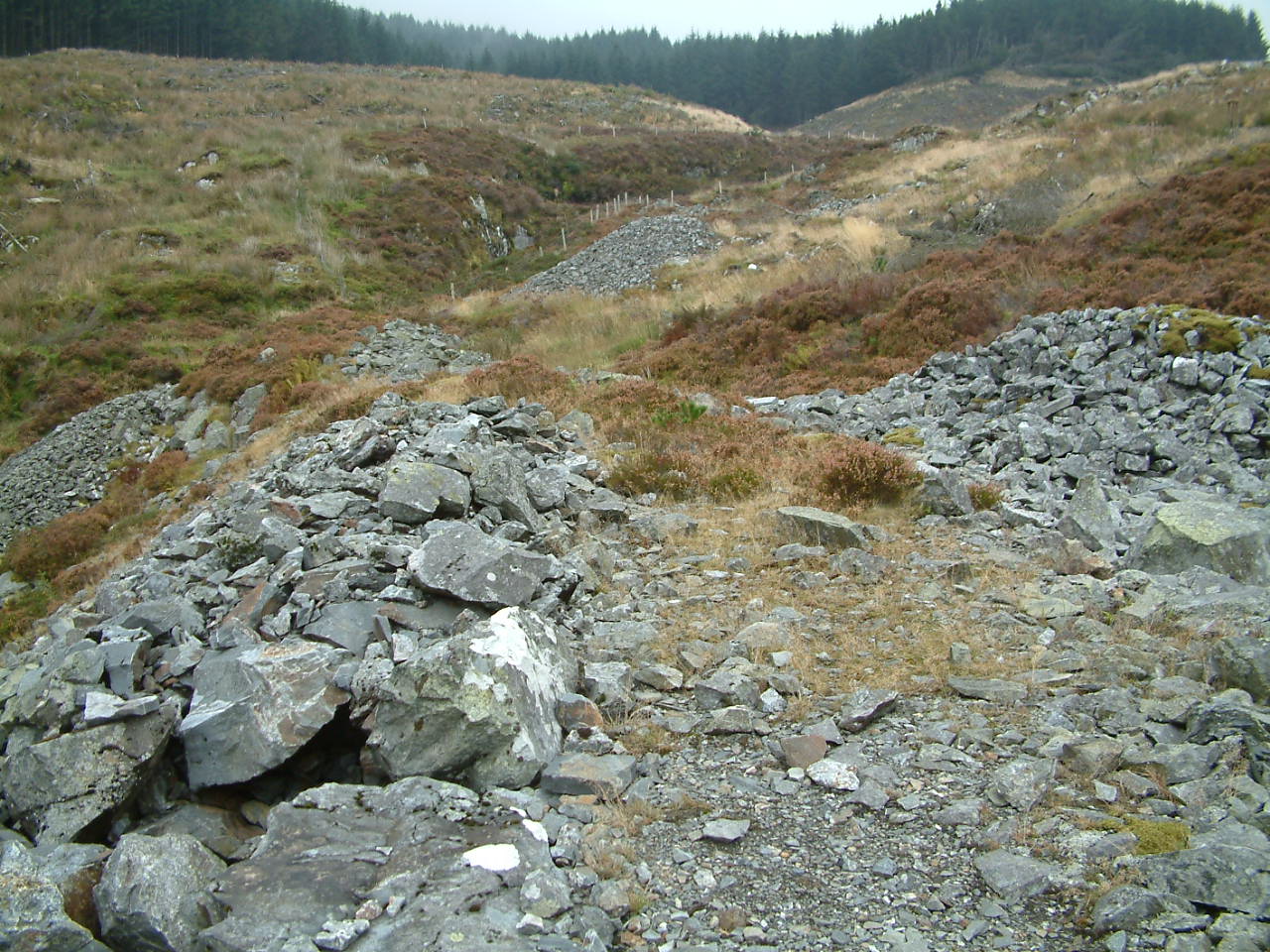 Lead/Copper (Prehistoric/1883)
Geology
Ordovician Lower Van Formation grits. The vein strikes N-S and E-W. Mineralisation includes chalcopyrite and lead with quartz gangue
Workings
A shaft is located to the east of the dressing floors at SN82738744.
There is a long prehistoric opencut on the lode to the north of the dressing floors SN82628746 with a 19th c. shaft through its base at the southern end. The Nant Yr Eira stream was formerly diverted around the top of these workings in a leat but now
cascades into the workings as a waterfall at the northern end.
Another shaft is located near the source of Nant Yr Eira to the north-west at SN82208660.
There are numerous trials on the hillside to the east of the stream at SN82678747.
Transport
Short sections of tramroad extend along the 19th century spoil tips from the 2 shafts close to the dressing floors. One of these can be traced to 2 ore bins while the other ends to the rear of the crusher house.
Power
There are 2 wheelpits on the dressing floors. One of these drove the crusher house (38x3ft) and also aided pumping. The other smaller wheelpit is located to the south of the platform on which the crusher wheel sits, its use is not clear. A reservoir exists
upstream of the junction of Nant Yr Eira with the Afon Hore at SN82658773.
Processing
Surviving remains include a crusher house, 2 round buddles and an ore bin with a picking table platform in front. Jiggers were presumably placed on the platform in front of the large wheelpit. All centred on SN82668731.
Other features
A mine office is located to the east of the dressing floors and a magazine is sited on the hillside to the south-east at SN82908723.
This HTML page is reproduced from the Powys and Clwyd Metal Mine Surveys which were undertaken between May 1992 and December 1993 by Mark Walters and Pat Frost of the Clwyd Powys Archaeological Trust with financial support from Powys County Council, Clwyd County Council and Cadw: Welsh Historic Monuments. Further information about this site is available in CPAT's Regional Historic Environment Record.
Page produced by Rachel Stebbings and Chris Martin.