![]()
Cymraeg / English

|
Back Home |
|
|
Historic Landscapes |
Historic Landscape Characterisation
East Fforest Fawr and Mynydd-y-glôg

Introduction
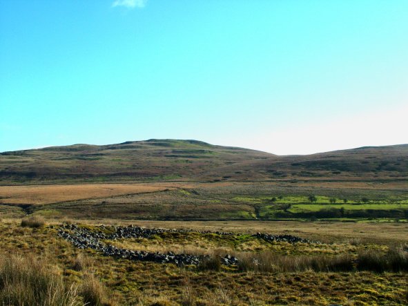
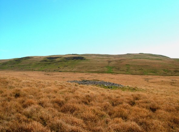
The following description, taken from the Historic Landscapes Register, identifies the essential historic landscape themes in the East Fforest Fawr and Mynydd-y-glôg historic landscape area.The visually imposing northwards-facing escarpments and adjoining dramatic mountain masses of the Black Mountains, the Brecon Beacons, Fforest Fawr and the Black Mountain together form a vast natural ridge and physical barrier that divides South from Mid-Wales. Fforest Fawr forms the central part of this barrier with the area identified here comprising its eastern side situated between the valleys of the Mellte in the west and the Taf Fawr in the east. This natural block of land extends from Fan Fawr and Mynydd y Garn in the north, to Cadair Fawr, Cefn Sychbant and Mynydd-y-glôg in the south which lay outside the historical extent of the forest. The block comprises dissected upland plateaux which dip gradually southwards from 734m at the distinctive tabletop summit of Fan Fawr, to between 250m and 300m in the Hepste and Cwm Cadlan-Pant Sychbant valleys that penetrate the middle and include the only extents of enclosed land in an otherwise noticeably bleak and remote area of moorland.
An intensive archaeological and historic landscape field survey undertaken in the Black Mountain and Fforest Fawr in the mid-1980s revealed the widespread survival of archaeological remains representing the recurrent, and at times intense, occupation and exploitation of this area and its natural resources from the prehistoric period to the recent past. These remains include prehistoric funerary and ritual monuments, evidence of early agriculture and land allotment, and a range of settlements from the prehistoric and the medieval periods, the whole superimposed in parts by more recent remains of quarries, lime works and workings, and abandoned land intakes.
The earliest occupation of the area probably occurred in the Mesolithic period with an excavated assemblage of flings from Pant Sychbant having produced a tool type considered to be of late Mesolithic date. However, intensive and sustained land use probably did not occur in the area until the Bronze Age, when a proliferation of burial cairns was created on the slopes of Mynydd-y-glôg, Cefn Sychbant, Penmoelallt, Cefn Esgair-caerau, Waun Tincer and in Pant Sychbant. Most of the sites comprise quite simple, round heaps of stone, but some have more regular structures indicating reuse and adaptation, and a different status possibly, although very few sites have been excavated.
The ring cairn which, as the name implies, is essentially a ring of heaped stone, is another type of Bronze Age sepulchral monument represented inthe area, although occurring in fewer numbers than round cairns. From excavated evidence elsewhere, ring cairns have a broader range of ritual functions than round cairns which were more likely to be used for the straightforward burial of the dead. The large ring cairn in Cwm Cadan is a particularly fine example of the type.
Undated, but presumed to be of broadly prehistoric date on the basis of similarities with sites dated by excavation elsewhere, are concentrations of remains representing early settlement and agriculture. The evidence includes hut circles or the stone foundations of round houses, artificial platforms or scooped hollows possibly intended for wooden structures, enclosures, field systems and groups of small clearance cairns, and occasionally, mounds of burnt stone which have been interpreted as the debris from cooking food in water heated in a pit or trough by hot stones. There are notable and extensive concentrations of these features in Pant Sychbant, Cwm Cadlan, and in the Hepste valley. It has even been argued that the patterns of limestone sink holes in this area probably relate to prehistoric human activity, monument building and field clearance. These erosion features are a distinctive feature of the local landscape.
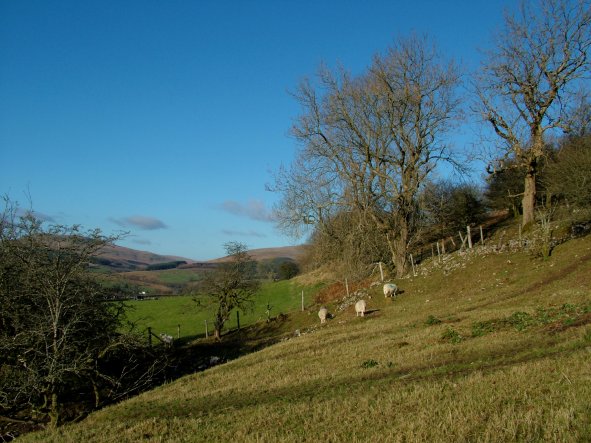
Medieval settlement generally favoured similar locations to the prehistoric period but overall there appears to have been greater settlement dispersal, with more isolated sites occurring in the area. Clusters of characteristic medieval rectangular stone building foundations and house platforms occur in Pant Sychbant, Pant y Gadair and in the Hepste valley. The Pant Sychbant sites are in close proximity to earlier, prehistoric structures. There is less evidence for associated cultivation in the medieval period and the sites are conventionally regarded as having been predominantly pastoral, although none within the area has been excavated. Excavation would provide a more accurate indication of date and evidence of whether the sites were permanent, or seasonal hafod settlements in a transhumance regime.
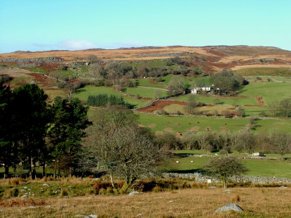
Historically, after the Norman conquest, the northern part of the area now lying within Powys, became part of Fforest Fawr which was set aside for hunting as a Forest of the Lordship of Brecon by Bernard de Neufmarché in the late 11th century. In 1521, however, Fforest Fawr passed into Crown ownership and thereafter it steadily declined in size as landowners bought immunity from the restrictions of forest law, or through assarting and enclosure as, for example, in the Hepste valley. In 1819, Fforest Fawr was sold and the central part, or Crown Allotment, was enclosed by Parliamentary Enclosure, with the part included here remaining open moorland as the Commoners’ Allotment. The abandoned land intakes found on the margins between tghe enclosed land and open moor date to about this time: there is a good example in Cwm Cadlan. Curiously, Hepste-fechan, a holding in the upper Hepste valley had been enclosed out of the open moorland at some stage prior to the sale, and the holding remains a highly visible ‘island’ of improved pasture within the Commoners’ Allotment.
There is evidence of past industrial activity, mainly from the last two centuries, on Cadair Fawr and Mynydd-y-glôg, including quarrying and the burning of limestone. Lime working occurred in Fforest Fawr in the medieval period as documentary sources attest to the rights of commoners to quarry, burn and sell lime, but the surviving concentrations of remains in the areas noted here, which lay outside Fforest Fawr, probably belong to the main period of lime production in the 18th and 19th centuries when the demand – for agriculture, and to a lesser extent, for building work – rose. Silica sand used for making refractory fire bricks was recently worked at the Cwm Cadlan quarry, but has now ceased to be extracted. The growing importance of sheep farming during the post-medieval period is attested by the numerous sheepfolds and pens in the area.
The richness, variety and remarkable extent of the surviving archaeological resources in this area, which is in many ways typical of upland Wales, demonstrates the vigour with which human populations recurrently, and a times continuously, exploited these zones in the past. The scale and intensity of human activity is remarkable. The results of recent historic landscape survey, using modern mapping, surveying and aerial photographic plotting techniques over very wide and representative areas, successfully brings that intensity of activity to life, in what appears today to be an essentially deserted and desolate area of moorland.
|
|
The Making of the East Fforest Fawr and Mynydd-y-glôg Landscape
The forces which have helped to form this special landscape are outlined in the following sections.
 Tracks, Roads, Railways and Pipelines
Historical and Cultural Associations
|
|
Other sources of information
Further sources of information on East Fforest Fawr and Mynydd-y-glôg can be found in various published and unpublished sources.
Published and unpublished sources of information
|
|
Character areas
The following historic landscape character areas have been defined within the historic landscape area.
|
Character areas defined in the East Fforest Fawr and Mynydd-y-glôg Historic Landscape |

|
|
|
|
|
1199 Cefn Cadlan - Cefn Sychbant - Mynydd-y-glôg
|
|
|
|
|
|
|
|
|
|
|
|
|
|
|
|
1203 Coed Penmailard - Coed Cefn-y-maes |
|
|


For further information please contact the Clwyd-Powys Archaeological Trust at this address, or link to the Countryside Council for Wales' web site at www.ccw.gov.uk.
Privacy and cookies